Digitizing national farm surveys with mobile data collection
Replace paper agricultural censuses with GPS-tagged mobile forms, validation rules and live dashboards for national statistics offices.
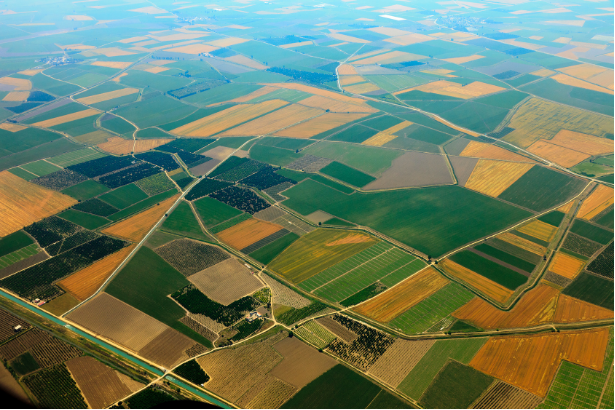
Digital agricultural census tools let national statistics teams collect GPS-tagged farm surveys on mobile devices, cutting transcription errors by 70% and publishing provisional results weeks earlier.
Paper surveys slow national agricultural policy
Traditional censuses take 18–24 months from fieldwork to publication. Transcription errors exceed 10% in many programs. Policymakers react to outdated planting intentions instead of current conditions.
Mobile survey architecture
AgroPure provides configurable forms, skip logic and photo attachments. Supervisors monitor enumerator progress on a map. Data validates at capture (area plausibility, duplicate plots) before sync to the national warehouse.
Census modernization results
- 70% reduction in transcription and coding errors
- Provisional regional dashboards available 8 weeks earlier
- Enumerator productivity up 45% with offline forms
- Integrated parcel boundaries for 92% of sampled holdings
We published interim planting intentions while field teams were still in the southern provinces, a first for our agency.
Survey director, national statistics office
Lessons for census managers
- Pilot forms with veteran enumerators before national rollout
- Pre-load parcel boundaries to speed field navigation
- Publish methodology notes alongside dashboards for transparency
- Plan API feeds to ministry planning systems early
FAQ
How are duplicate plots prevented?
GPS proximity checks and national parcel IDs flag potential duplicates for supervisor review.
Can enumerators work fully offline?
Yes. Forms, reference lists and maps sync when connectivity is available.
Is data sovereign-hosted?
AgroPure supports dedicated or on-premise deployment for government clients.
Sources and references
For national statistics teams
Modernize your agricultural census with AgroPure Request a demo.